
Flood-scoured rock, two rivers
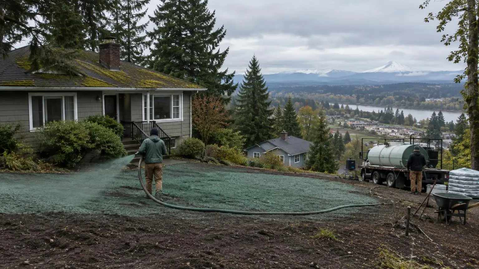
Hydroseeding in West Linn, OR
West Linn sits between the Willamette and the Tualatin, on ground the Ice Age floods stripped in places.
- No-cost site visit, then a quote in writing
- Seeding planned around the Willamette Valley rain calendar
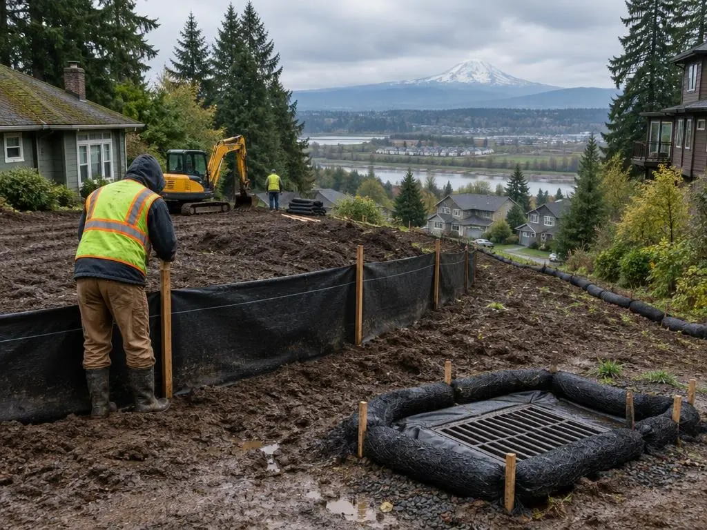
- Silt fence and stabilization installed to your approved erosion plan
Building a Seedbed Where the Floods Left Rock
Hydroseeding in West Linn sometimes starts with a soil question rather than a seed question. The city lies between the Willamette and Tualatin rivers, and in central West Linn the Camassia Natural Area sits on a rocky plateau exposed by the Bretz (Missoula) Floods. Where those floods scoured the ground, soil can be shallow over rock, and a lawn needs enough topsoil to hold water through a dry summer.
Check topsoil depth first
Before we spray, we dig a few test holes. If rock or hardpan is close to the surface, we bring in topsoil and spread it to an even depth so the new lawn does not brown out in patches by August. Thin spots over rock are always the first to fail.
Wet meadows and vernal pools
The Camassia preserve supports Oregon white oak and madrone woodland, wet meadows, ponds and vernal pools, with camas and the rare white rock larkspur. Lots near natural areas like this are a good fit for native seed mixes at the edges, and silt fence keeps disturbed soil from drifting toward them.
River banks and high water
The Tualatin River's highest recorded flow, 26,400 cubic feet per second, was measured at the West Linn gauge on February 10, 1996. Riverside lots should plan for high winter water; we stabilize banks above normal water with blankets and seed and keep fresh work out of the flood-prone strip until spring.
Parks and open space
Mary S. Young State Recreation Area runs between Oregon Route 43 and the Willamette, with several miles of trails. If your lot backs onto park land, keeping runoff and sediment on your side of the line is part of doing the job right.
Get a free estimate or call (971) 588-2069 for a West Linn lawn or slope.
West Linn Rock, Rivers and Floods
- Between rivers. West Linn lies between the Willamette and Tualatin rivers; water covers 0.66 of its 8.05 square miles.
- Scoured plateau. The 26-acre Camassia Natural Area sits on a rocky plateau exposed by the Bretz Floods, with wet meadows and vernal pools.
- 1996 high water. The Tualatin's record flow, 26,400 cfs, was measured at the West Linn gauge on February 10, 1996.
West Linn Questions
Why does part of my West Linn lawn brown out first every summer?
Usually the soil is thin over rock or hardpan there. Adding topsoil before reseeding fixes the cause.
Can you use native seed near the Camassia preserve?
Yes. A native grass or wildflower edge suits lots next to natural areas, with lawn closer to the house.
Is it safe to seed a riverbank in winter?
Not in the flood-prone strip. We stabilize higher ground with blankets and leave low bank work for spring.
How much topsoil will I need?
That comes down to the soil already on the lot. We measure depth in a few spots during the site visit and size the order from that.
Hydroseeding Near West Linn
- Hydroseeding in Portland, OR
- Hydroseeding in Gresham, OR
- Hydroseeding in Hillsboro, OR
- Hydroseeding in Beaverton, OR
- Hydroseeding in Happy Valley, OR
- Hydroseeding in Tigard, OR
- Hydroseeding in Lake Oswego, OR
- Hydroseeding in Oregon City, OR
- Hydroseeding in Tualatin, OR
- Hydroseeding in Sherwood, OR
- Hydroseeding in Wilsonville, OR
- Hydroseeding in Milwaukie, OR
- Hydroseeding in Troutdale, OR
- Hydroseeding in Fairview, OR
- Hydroseeding in Camas, WA
- Hydroseeding in Washougal, WA
- Hydroseeding in Battle Ground, WA
- Hydroseeding in Ridgefield, WA
- Hydroseeding in Vancouver, WA
- Hydroseeding in Canby, OR
- Hydroseeding in Forest Grove, OR
- Hydroseeding in Cornelius, OR
- Hydroseeding in Sandy, OR